The lake in numbers
| Dam | concrete arch, 29 m high, crest at 317.5 m |
| Built | 1935-1938 |
| Power plant | rebuilt 2008, 9.6 MW, about 30 GWh a year |
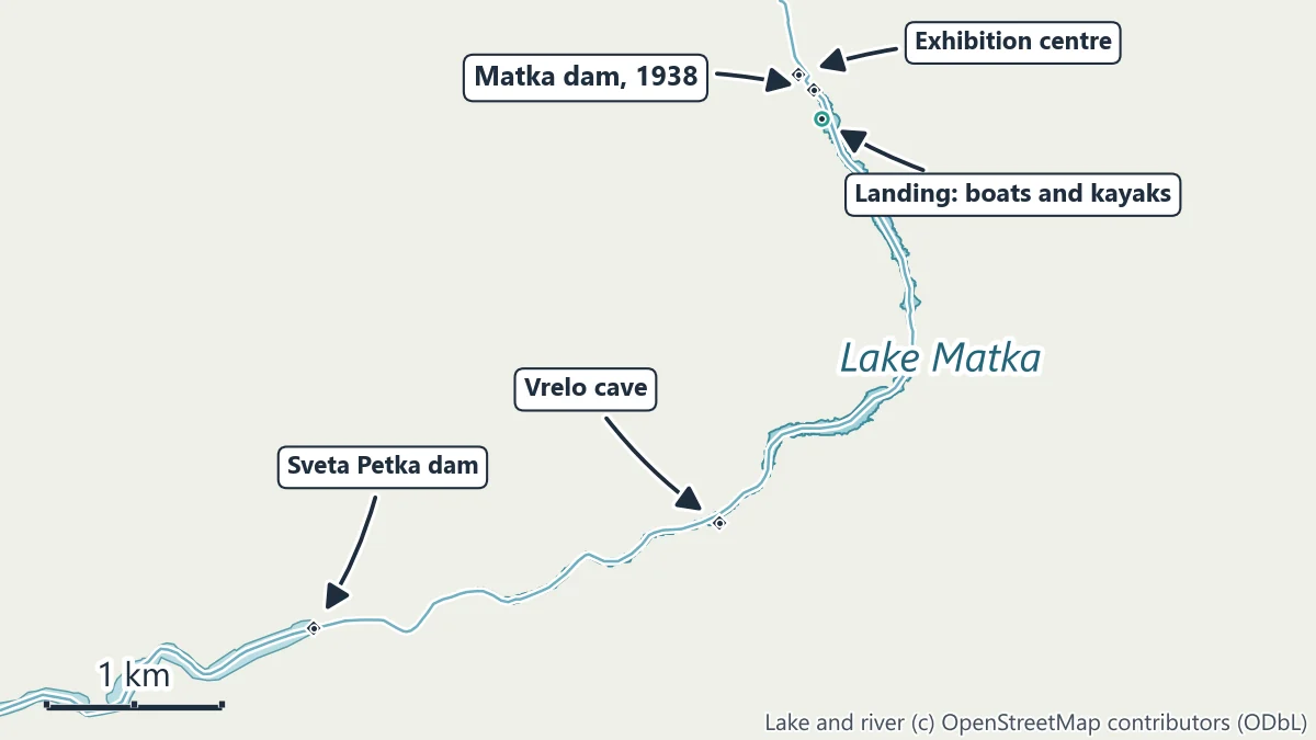
| Lake | about 5 km of the gorge, to the Sveta Petka dam |
| Landing to Vrelo cave | 3.1 km along the lake |
| Exhibition centre | April-October, daily except Monday, 10:00-15:00 |
Dam and power figures are the power company’s; the lake length and the boat distance are measured on the map along the middle of the lake.
The dam and the power plant
The hydropower plant sits where the Treska leaves the gorge, near the village of Matka. Work on the dam began in 1935 and the plant started in 1938 with 4.8 MW. The dam is a concrete arch 29 m high, built of ten independent rings, with its crest at 317.5 m above sea level; excess water spills over its side. The water intake lies 130 m from the dam, and a tunnel takes the water to the machine room. In 2008 the intake tunnel was reconstructed and a completely new power plant built, with two Kaplan turbines and 9.6 MW installed; it produces about 30 GWh in an average year. The plant belongs to the power company EVN Macedonia Elektrani.
The lake is the oldest artificial lake in the country. Its water drives the turbines and irrigates the villages around it.
The exhibition centre
When the new plant opened, the old machine room was turned into an educational and exhibition centre on electricity, opened in 2016. It stands below the dam, 0.6 km on foot from the bus 60 terminus. Its own site gives the opening hours as April to October, every day except Monday, from 10:00 to 15:00. See matka.com.mk.
Boats
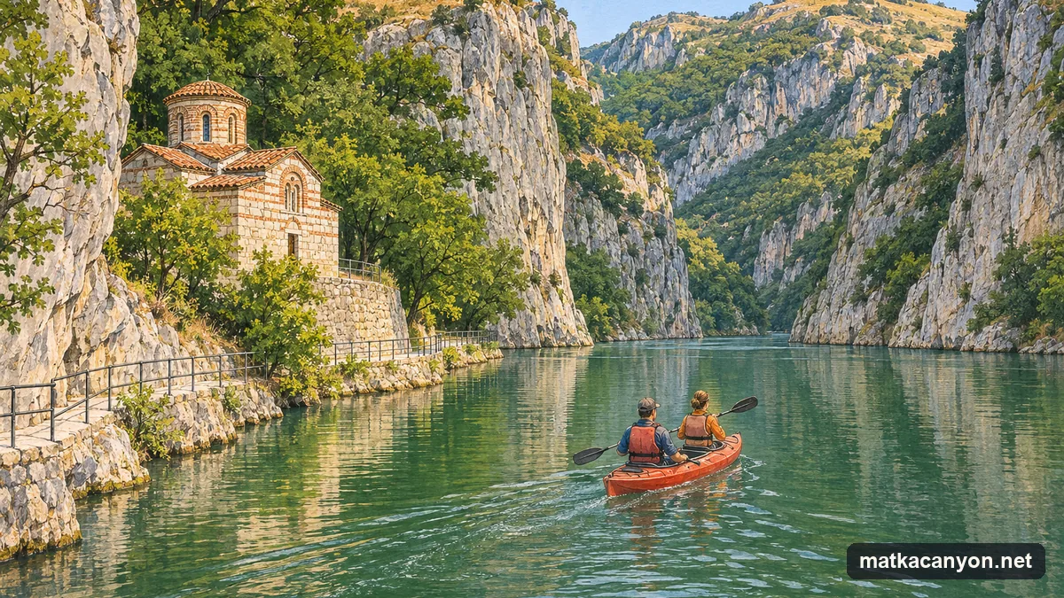
Boats for Vrelo cave leave from the landing below the church of St Andrew, beside the hotel and restaurant at the dam, and cross 3.1 km of the lake to the cave. Those who run the boats set the times and the price, and no public body publishes either; ask at the landing and agree whether the cave visit and the return are included. See Vrelo cave by boat.
Kayaks
Kayaks are hired at the same landing. On the flat water of the lake, the obvious trip is upstream between the cliffs towards Vrelo and back. The rental sets the price, the time allowed and the safety kit; wear the buoyancy vest you are given, stay clear of the boats’ route near the landings, and keep away from the dam and its intake. Below the dam, the Treska runs on past the Matka monastery, where kayakers also train on the river.
Swimming
No public body publishes a bathing area or bathing rules for Lake Matka. The lake is narrow, boats and kayaks use it, and its banks are mostly steep rock with few places to climb out. Do not swim from the shore or the landing.
Climbing
The cliffs on both sides of the lake are a sport-climbing area, with bolted routes on the walls across the water from St Andrew. Climbing here is for experienced climbers with their own equipment.
Before you go
- Getting there: bus 60 to its last stop, then 1.1 km on foot; see Skopje to Matka Canyon.
- Walking the shore: the lakeside trail upstream from St Andrew has been closed since 26 February 2026 for falling rock, until further notice; the lake is seen from a boat or a kayak instead.
- The churches: St Andrew stands by the landing; see St Andrew and the monasteries.